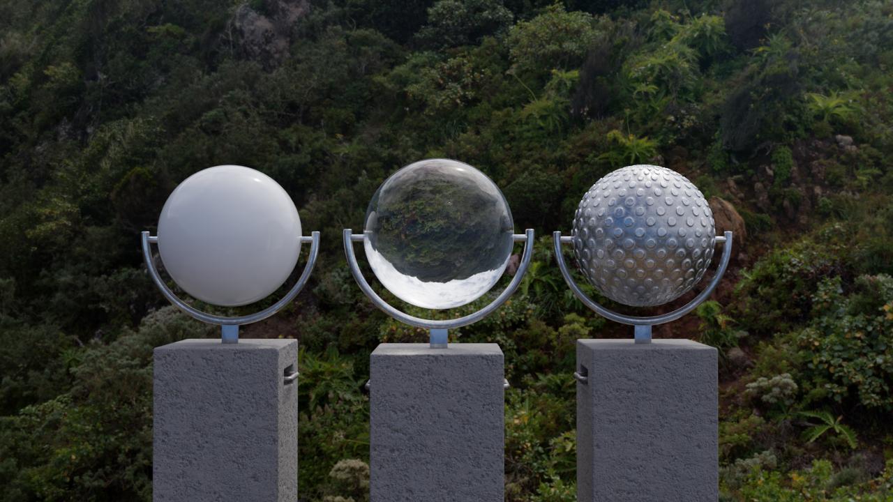
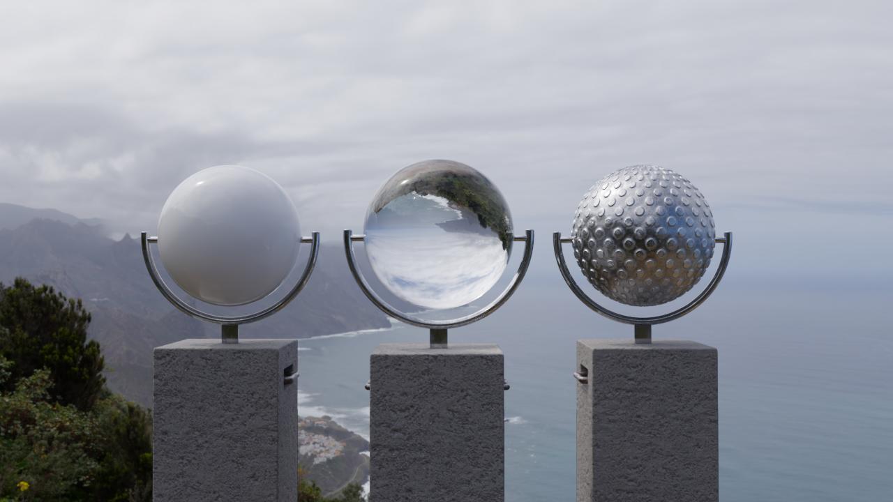
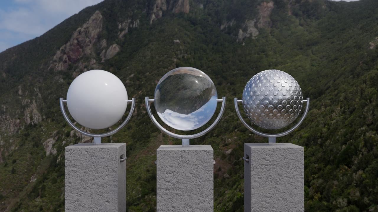
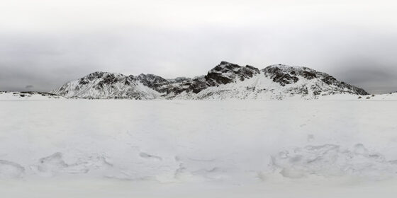
| HDRI Resolution | 20000x10000px |
|---|---|
| Camera | Canon EOS 60D |
| Lens | Sigma 10-20mm f/4-5.6 EX DC HSM |
| Country | Spain |
| HDR Preview | |
| Download size | 460.13 MB |
| License Type | Royalty-Free |
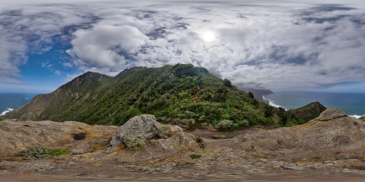
Macizo de Anaga
Price range: 7,00 € through 14,00 €
Macizo de Anaga is a mountain range in the northeastern part of the island of Tenerife in the Canary Islands. The highest point is 1,024 m (Cruz de Taborno). It extends between the Punta de Anaga in the northeast and Cruz del Carmen in the southwest. Anaga features the mountain peaks of Bichuelo, Anambro, Chinobre, Pico Limante, Cruz de Taborno and Cruz del Carmen. The mountains were formed by a volcanic eruption about 7 to 9 million years ago making it the oldest part of the island.

Related products
-
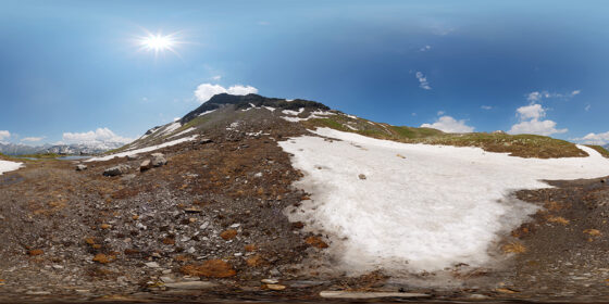
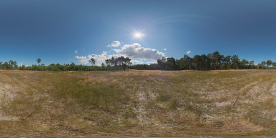
Snow by lake in Alps [hdre_078]
Price range: 7,00 € through 14,00 € This product has multiple variants. The options may be chosen on the product page -
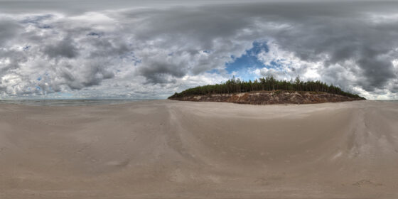
Stormy beach [hdre_037]
Price range: 10,00 € through 20,00 € This product has multiple variants. The options may be chosen on the product page -
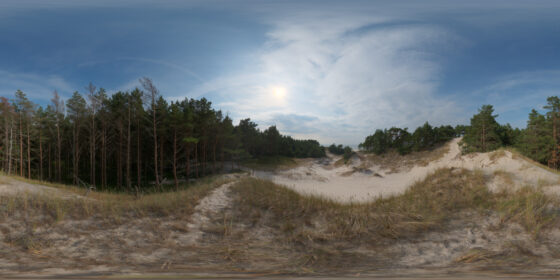
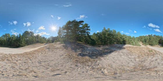
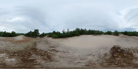
Top of the Baltic dune [hdre_028]
Price range: 7,00 € through 14,00 € This product has multiple variants. The options may be chosen on the product page -
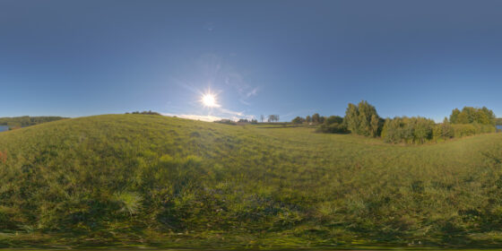
Meadow hill at lake [hdre_041]
Price range: 10,00 € through 20,00 € This product has multiple variants. The options may be chosen on the product page -
Summer at dunes [hdre_044]
Price range: 10,00 € through 20,00 € This product has multiple variants. The options may be chosen on the product page -
Overcast Sky Over Dunes [hdre_027]
Price range: 10,00 € through 20,00 € This product has multiple variants. The options may be chosen on the product page -
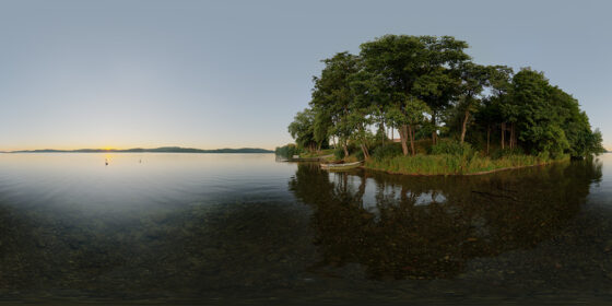
Quiet lake just after sunset [hdre_035]
Price range: 7,00 € through 14,00 € This product has multiple variants. The options may be chosen on the product page -
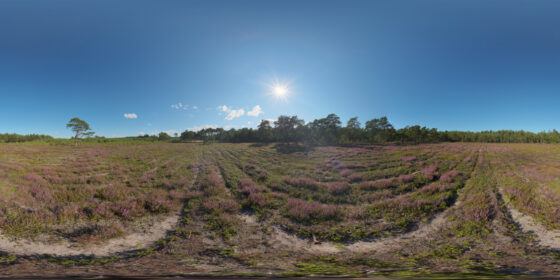
Heather field at Baltic Coast [hdre_032]
Price range: 10,00 € through 20,00 € This product has multiple variants. The options may be chosen on the product page -
Frozen lake in mountains [hdre_070]
Price range: 10,00 € through 20,00 € This product has multiple variants. The options may be chosen on the product page -
Pine forest clearing [hdre_031]
Price range: 10,00 € through 20,00 € This product has multiple variants. The options may be chosen on the product page